Motus Tower Installation
The Motus Wildlife Tracking System is a collaborative research network across the Western Hemisphere. This system uses a coordinated automated radio telemetry array to track movements of tagged small flying fauna including birds, bats, and large insects. Both small and large scale movements across landscapes are tracked which can greatly inform the local understanding of flying species at risk (SAR) by determining the size of local populations, identifying critical habitat and migration paths, and tracking the impacts of local threats.
As many basic facts about SAR in this region remain unknown, increased coverage of the Motus tower network can enhance the ability to conduct research and greatly inform the understanding of flying SAR in the region through identifying critical habitat and migration paths across the landscape and tracking the impacts of local threats. This project sought to increase the coverage by installing new Motus towers at selected host locations across the eastern coast of Georgian Bay. Data generated through this partnership will be used to inform regional conservation research plans and priorities going forward.

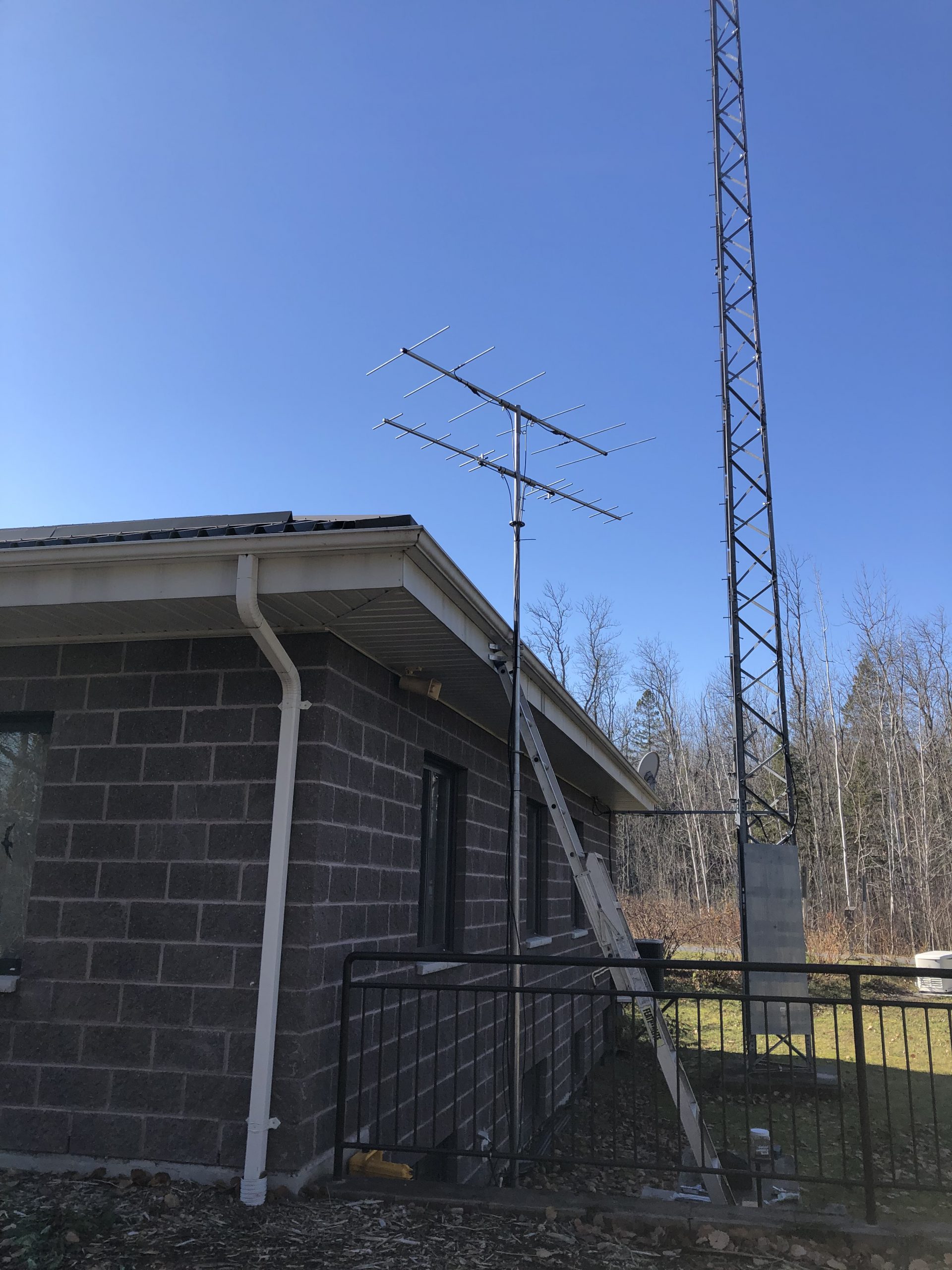
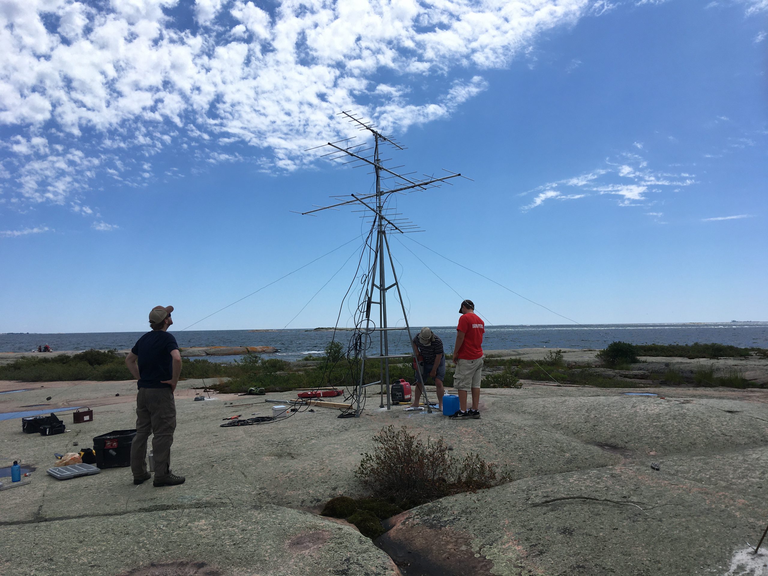
MOTUS tower at Grundy Lake Provincial Park. MOTUS antenna on Little McCoy Island in Georgian Bay. Photo credit: Brooks Green Photo credit: Brooks Green Photo credit: Andy Metelka
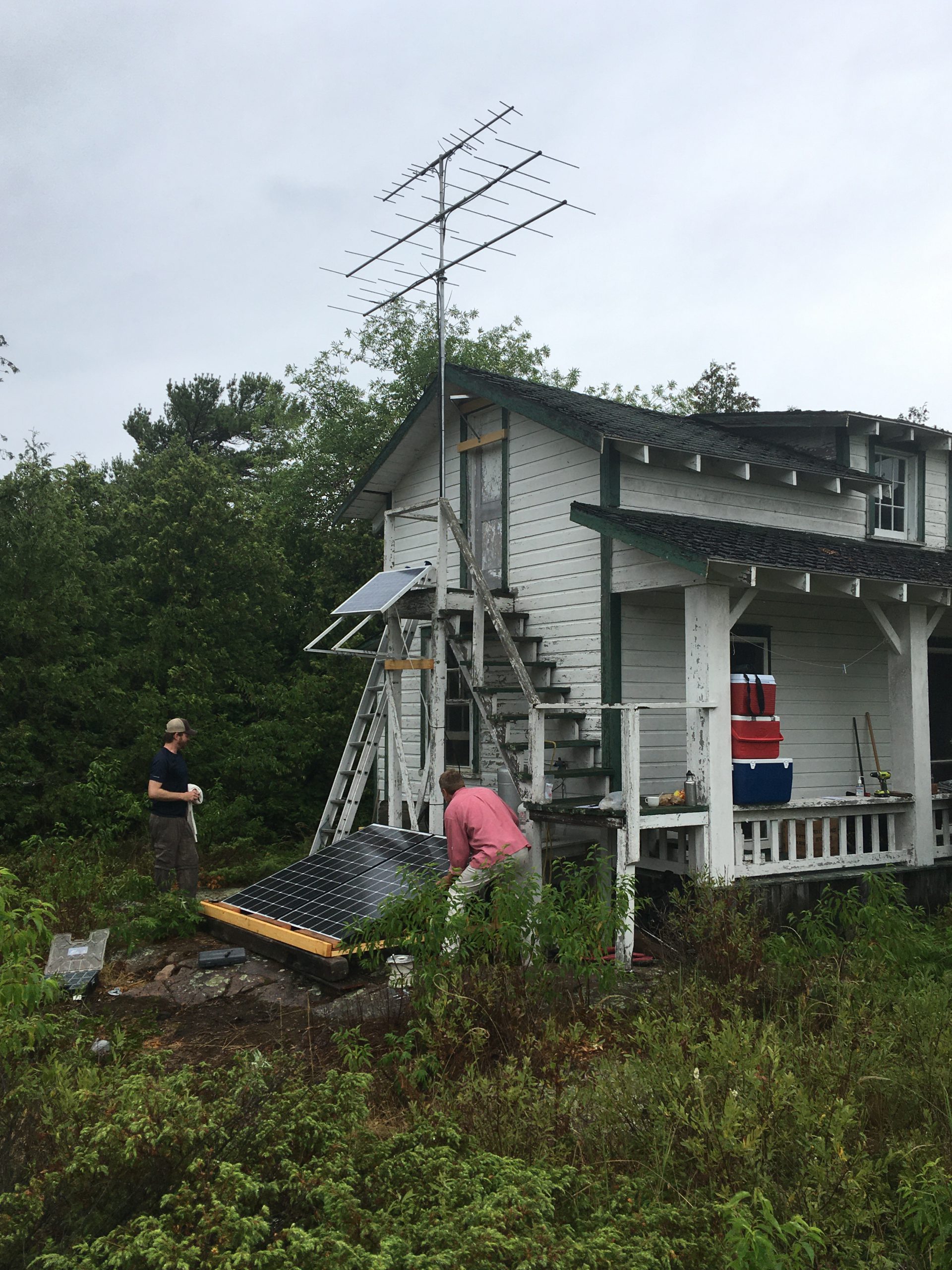
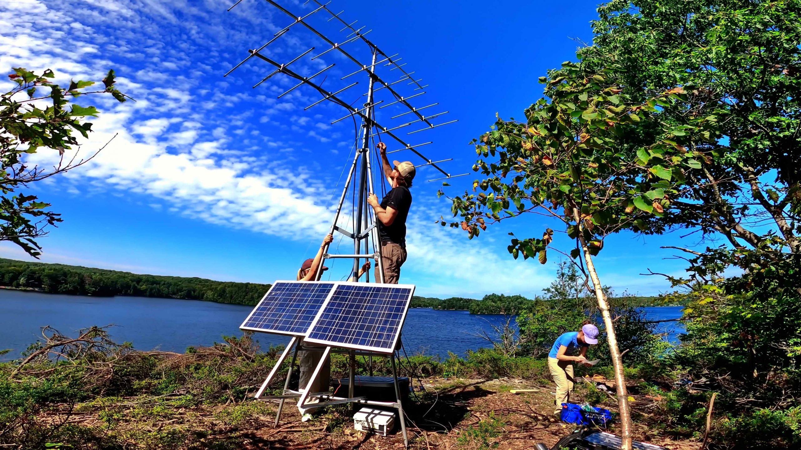
With partners Shawanaga First Nation, Magnetawan First Nation, Georgian Bay Land Trust, Ontario Parks, and Birds Canada we have placed an additional 7 towers along the eastern Georgian Bay coast in 2020.
We thank you for your partnership in this project and look forward to continued work to protect and learn more about species and habitats along this coast.
Learn more about the Motus tower network.